Showing posts with label Barnstable County. Show all posts

Monday, August 6, 2018

Hurricane Inundation Zones: Dennis Yarmouth


The maps are a bit blurry, because they download poorly and we were forced to take pictures of the monitor.

They work like this...

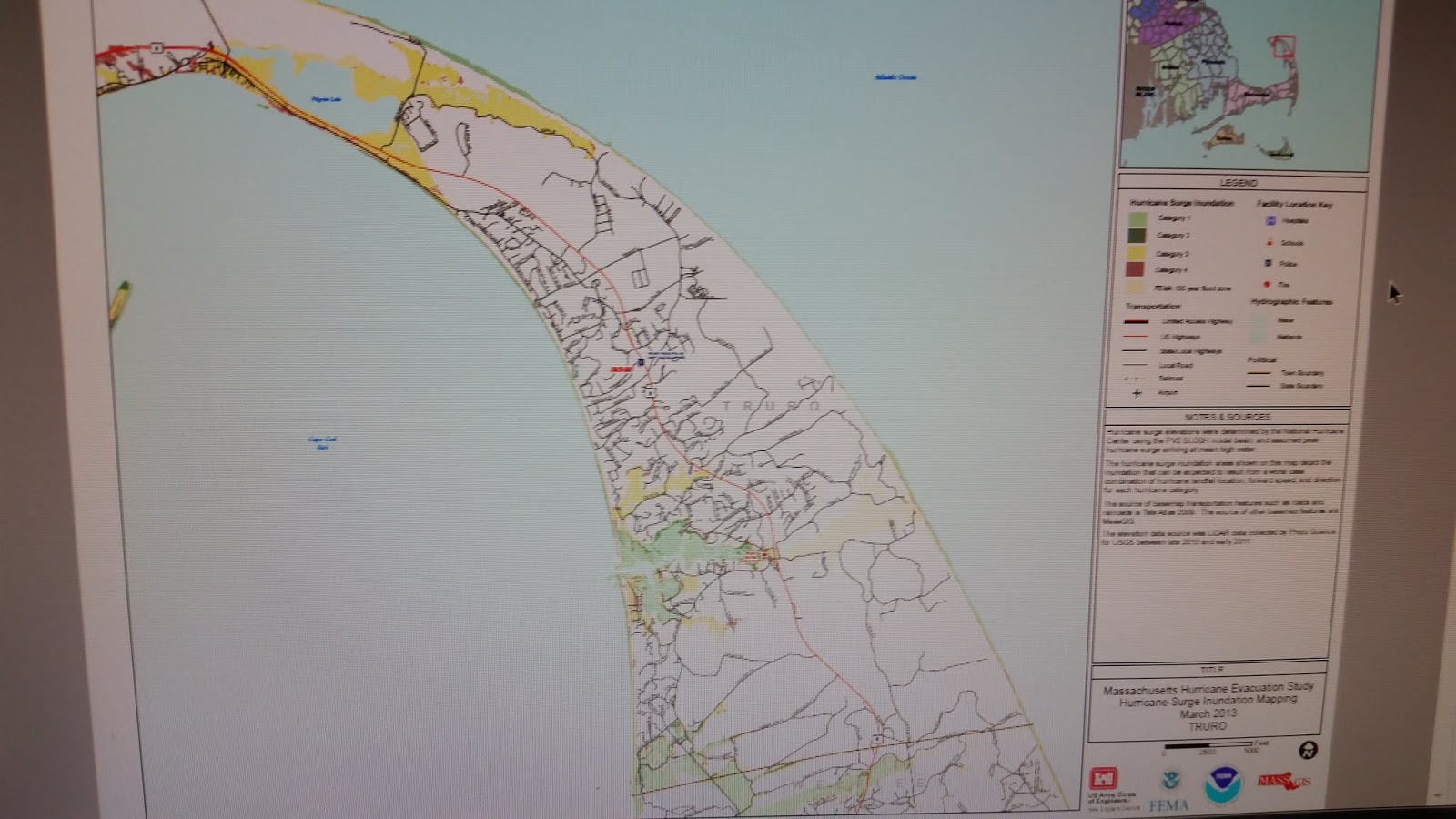
Any area that is colored in means that inundation is possible during a hurricane. FEMA estimates as to what hurricane intensity would be needed to flood certain spots are shown by color differencs.

Light green = Category 1

Dark green = Category 2

Yellow = Category 3

Red = Category 4

Click on the map to zoom in.

Hurricane Inundation Maps: Wellfleet and Truro


The maps are a bit blurry, because they download poorly and we were forced to take pictures of the monitor.

They work like this...

Any area that is colored in means that inundation is possible during a hurricane. FEMA estimates as to what hurricane intensity would be needed to flood certain spots are shown by color differencs.

Light green = Category 1

Dark green = Category 2

Yellow = Category 3

Red = Category 4

Click on the maps to zoom in.


Hurricane Inundation Map, Truro


The maps are a bit blurry, because they download poorly and we were forced to take pictures of the monitor.

They work like this...

Any area that is colored in means that inundation is possible during a hurricane. FEMA estimates as to what hurricane intensity would be needed to flood certain spots are shown by color differencs.

Light green = Category 1

Dark green = Category 2

Yellow = Category 3

Red = Category 4

Click on the map to zoom in.

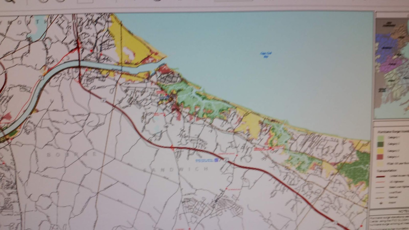
Hurricane Inundation Maps: Sandwich


The maps are a bit blurry, because they download poorly and we were forced to take pictures of the monitor.

They work like this...

Any area that is colored in means that inundation is possible during a hurricane. FEMA estimates as to what hurricane intensity would be needed to flood certain spots are shown by color differencs.

Light green = Category 1

Dark green = Category 2

Yellow = Category 3

Red = Category 4

Click on the map to zoom in.